The Bureau d’Etude Géologique et Environnementale en RDC (BEGE-RDC) is a thinktank organization in the Democratic Republic of the Congo, dedicated to sustainable management of natural resources and addressing environmental challenges. In alignment with the commitment to both environmental protection and community resilience in DRC, our work spans various domains, including natural risk management, biodiversity conservation, geoconservation, environmental education, and natural resources management.
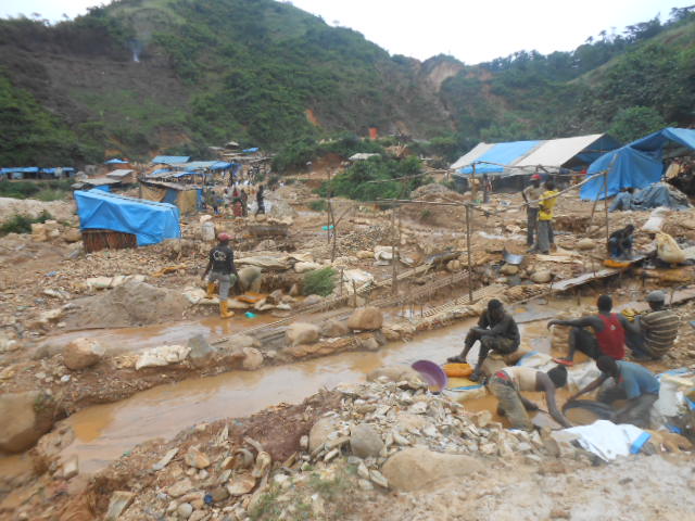
Minerals: Promoting responsible mining practices and mitigating the environmental impacts of mining activities.
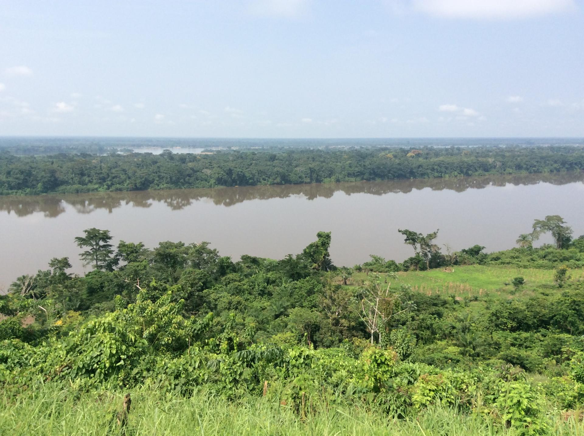
Water: Working on water resource management, ensuring sustainable use and protection of water bodies.
Land: Engaging in land management practices that promote sustainable land use and prevent land degradation.
Natural Risk Management:
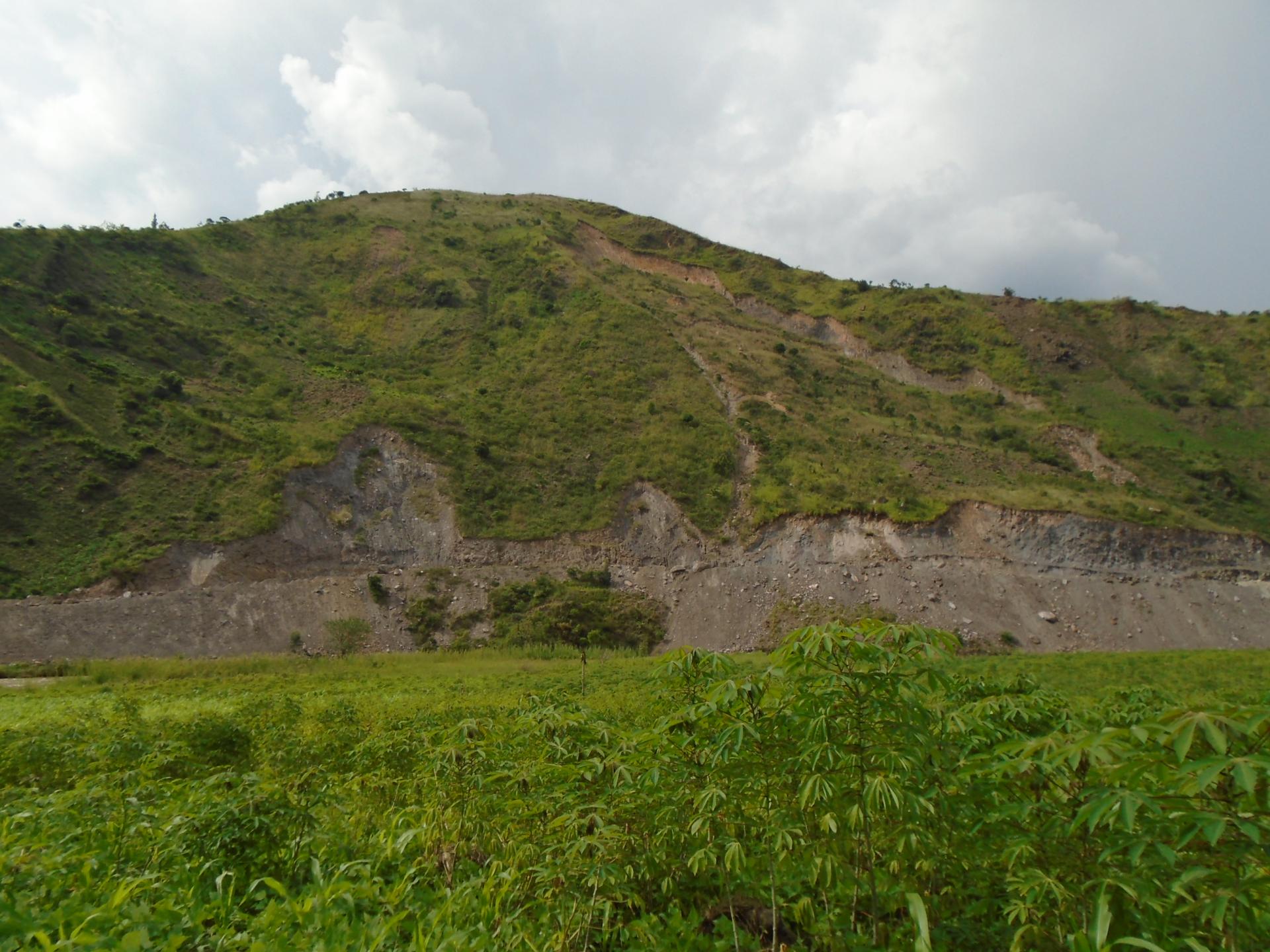
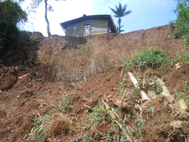
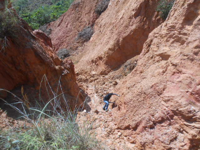
Risk Identification and Mitigation: BEGE-RDC identifies and mitigates natural risks such as volcanic activity, landslides, and seismic events. We provide practical guides and training on disaster risk reduction and preparedness.
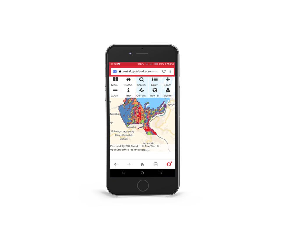
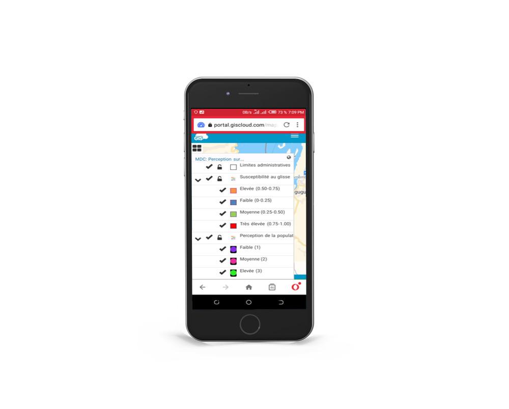
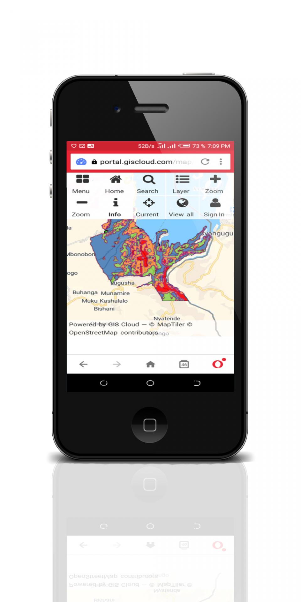
Interactive Maps: We develop interactive maps showing susceptibility to natural hazards, which are crucial for disaster risk reduction and planning.
Biodiversity Conservation:
Ecosystem Protection: The organization works on conserving biodiversity and protecting ecosystems, particularly in the Kivu region. This includes combating deforestation and pollution.
Restoration Projects: We engage in projects aimed at restoring degraded ecosystems and promoting sustainable land use practices.
Geoconservation:
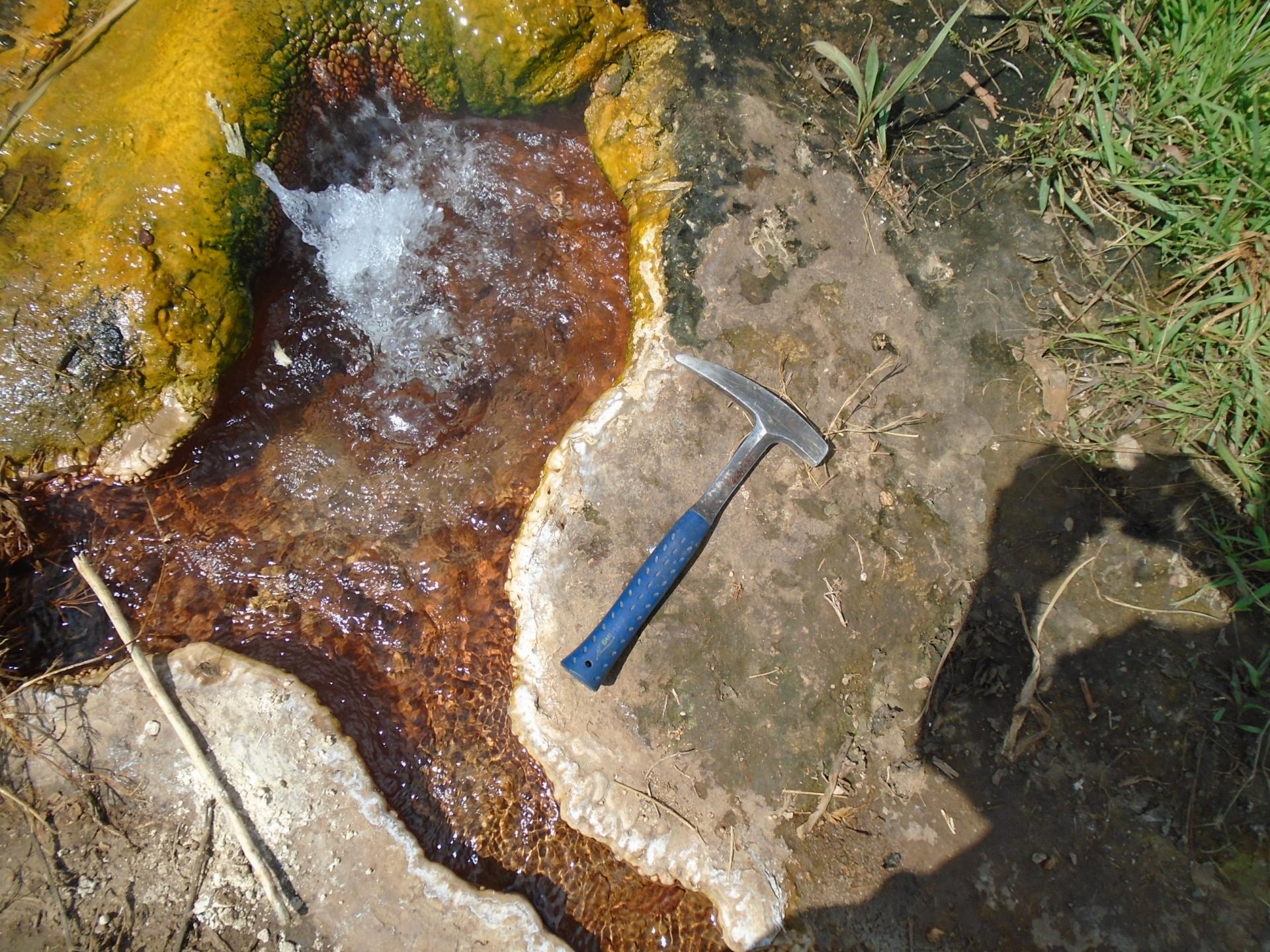
Geological Heritage: BEGE-RDC emphasizes the importance of geoconservation, which involves protecting geological heritage and promoting the sustainable use of geological resources.
Environmental Education and Awareness:
Educational Programs: We conduct educational programs and awareness campaigns to promote environmental stewardship, integrating Sustainable Development Goals (SDGs) into educational settings and community outreach.
Publications: BEGE-RDC publishes a quarterly journal, "Le Cahier du BEGE-RDC," featuring research findings, expert articles, and updates on their activities.
Cartography and GIS:
Training Programs: We offer training in cartography, Geographic Information Systems (GIS), and remote sensing, including courses on using QGIS and GPS for field mobility.
Advanced GIS Training: We conduct advanced GIS training sessions covering topics such as spatial analysis, 3D visualization, and hydrological modeling.
Maps production: We produce thematics maps for individuals and organisations to support their research, development or humanitarian activities
Environmental Impact Assessments (EIAs):
Compliance and Mitigation: BEGE-RDC conducts comprehensive EIAs for various development projects, ensuring compliance with environmental regulations and standards to mitigate negative environmental impacts.
Notable projects
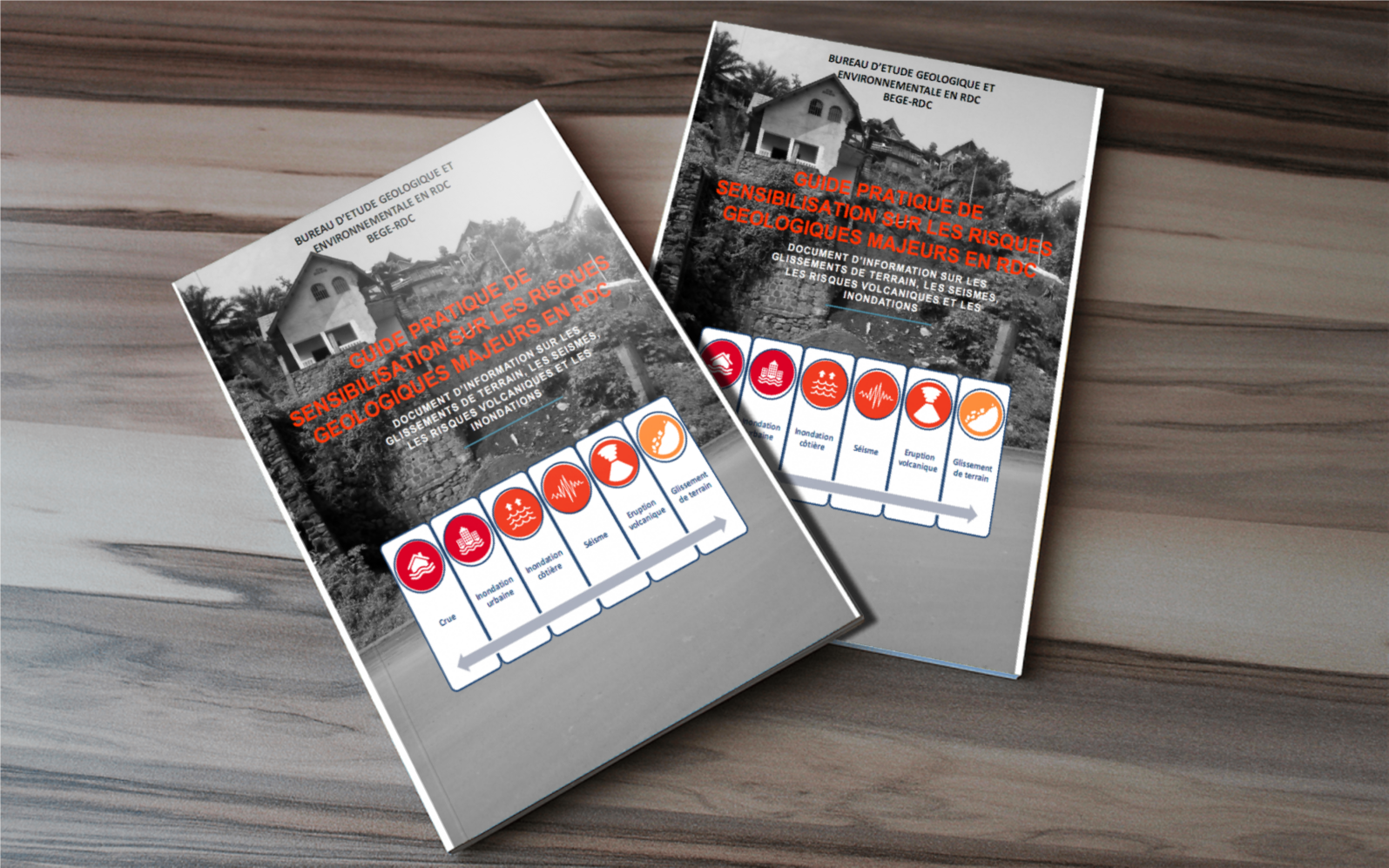
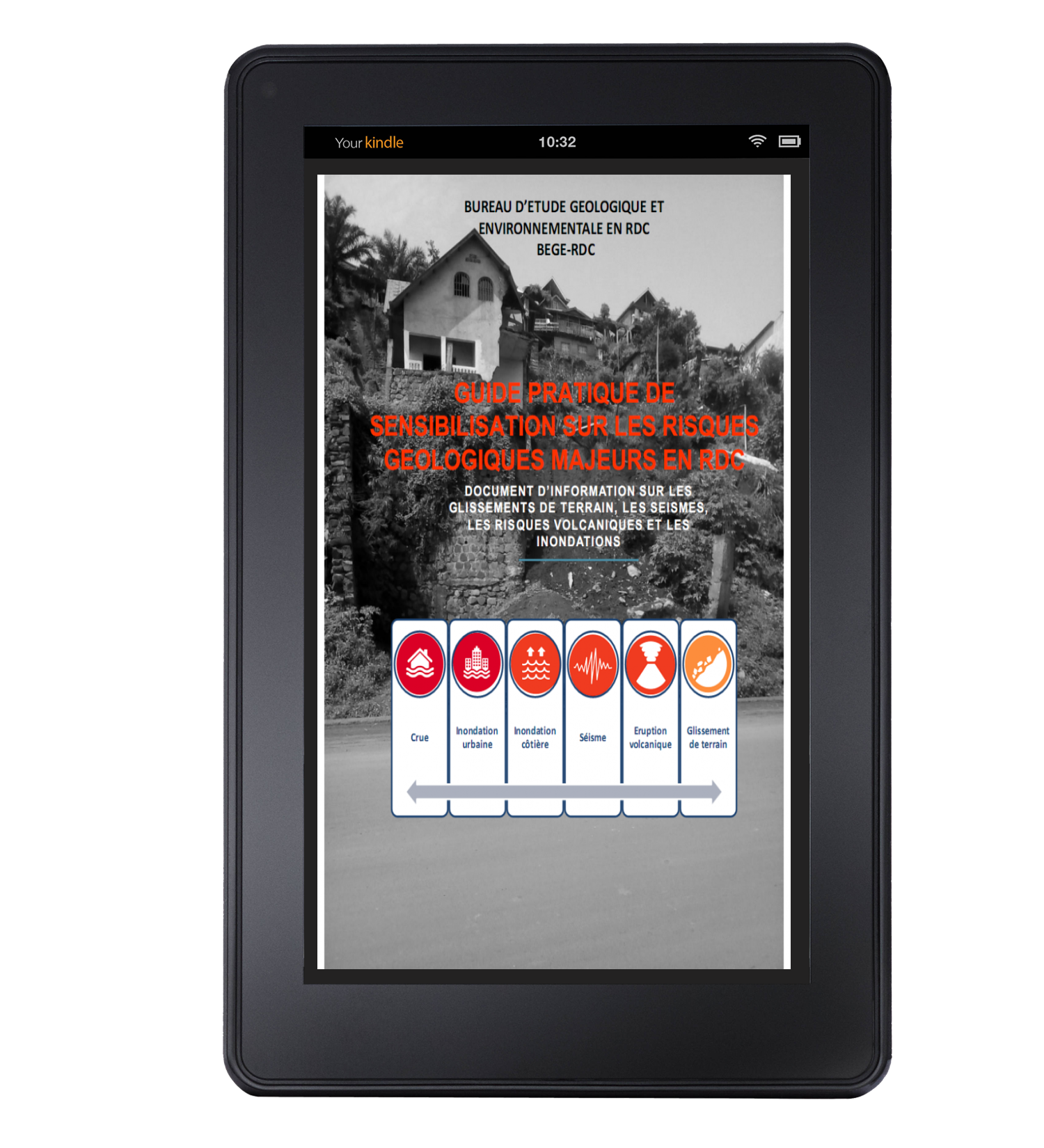
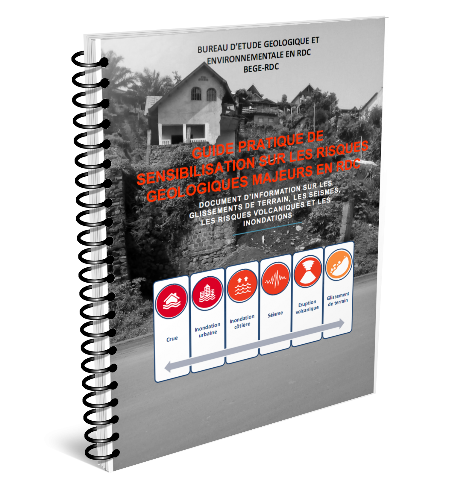
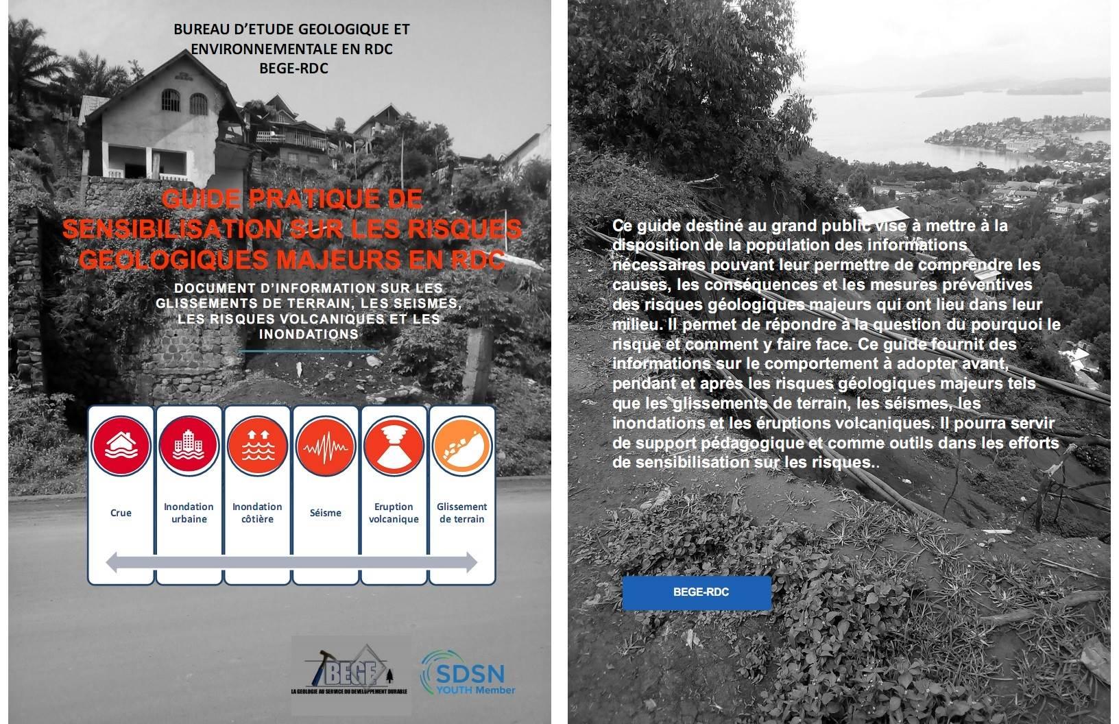
Guide pratique de sensibilisation sur les risques géologiques majeurs en RDC
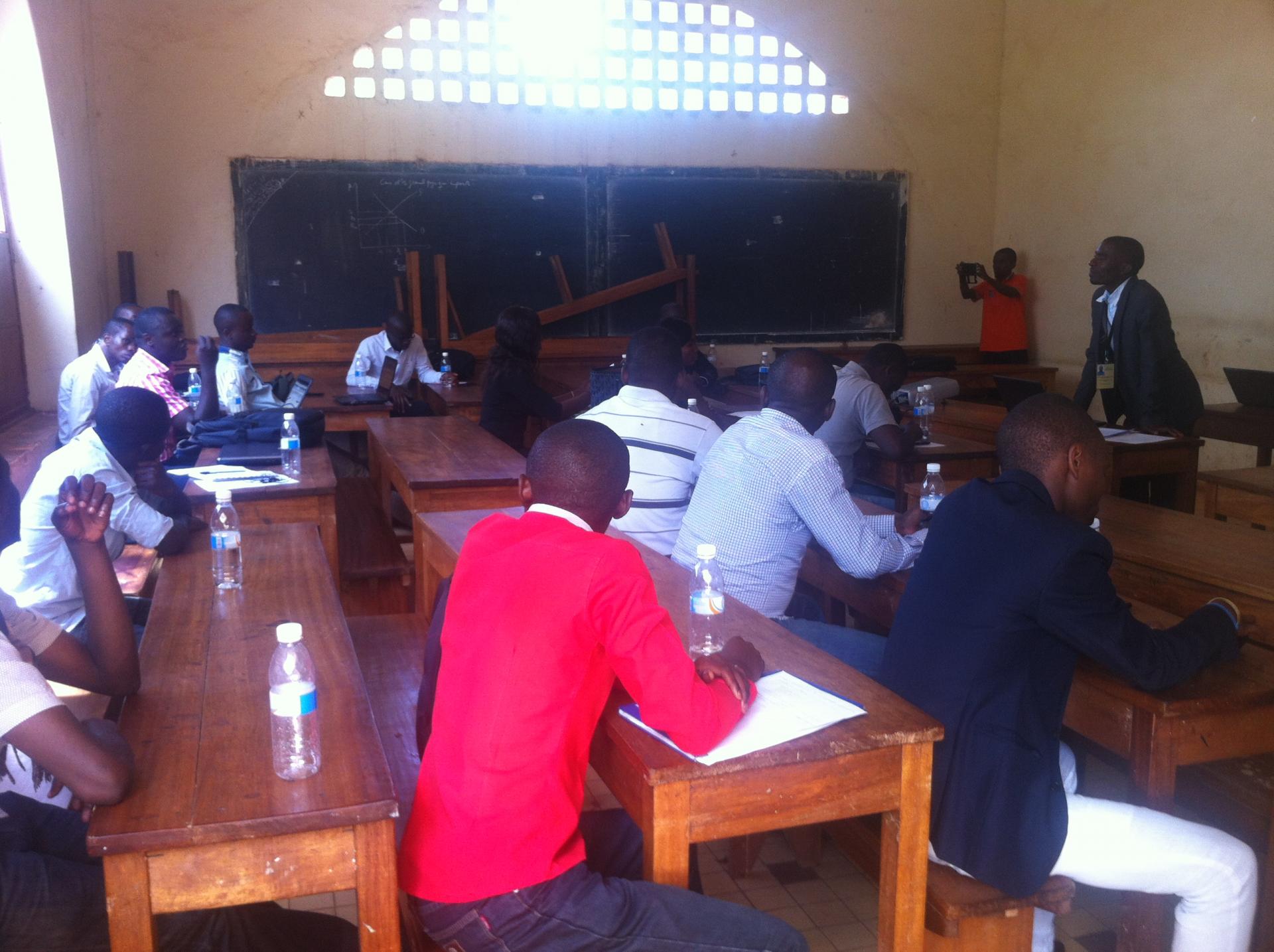
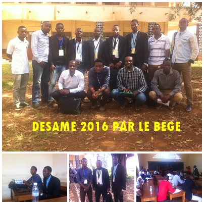
« Célébration de la Journée de Sciences de la Terre 2016 à Bukavu, Sud-Kivu, DRC sous le thème ‘‘Géoéthique, Géohéritage, Géoressources et géoenvironnement pour le développement et la promotion de la paix dans la Région du Kivu (Branche occidentale du Rift Est Africain)’’ »
Conférence
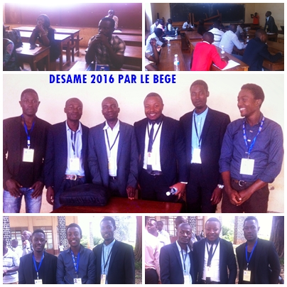
« Célébration de la Journée de Sciences de la Terre 2016 à Bukavu, Sud-Kivu, DRC sous le thème ‘‘Géoéthique, Géohéritage, Géoressources et géoenvironnement pour le développement et la promotion de la paix dans la Région du Kivu (Branche occidentale du Rift Est Africain)’’ »
SDSN Youth
Le BEGE-RDC est officiellement membre de SDSN Youth ( UN Sustainable Development Solutions Network Youth)
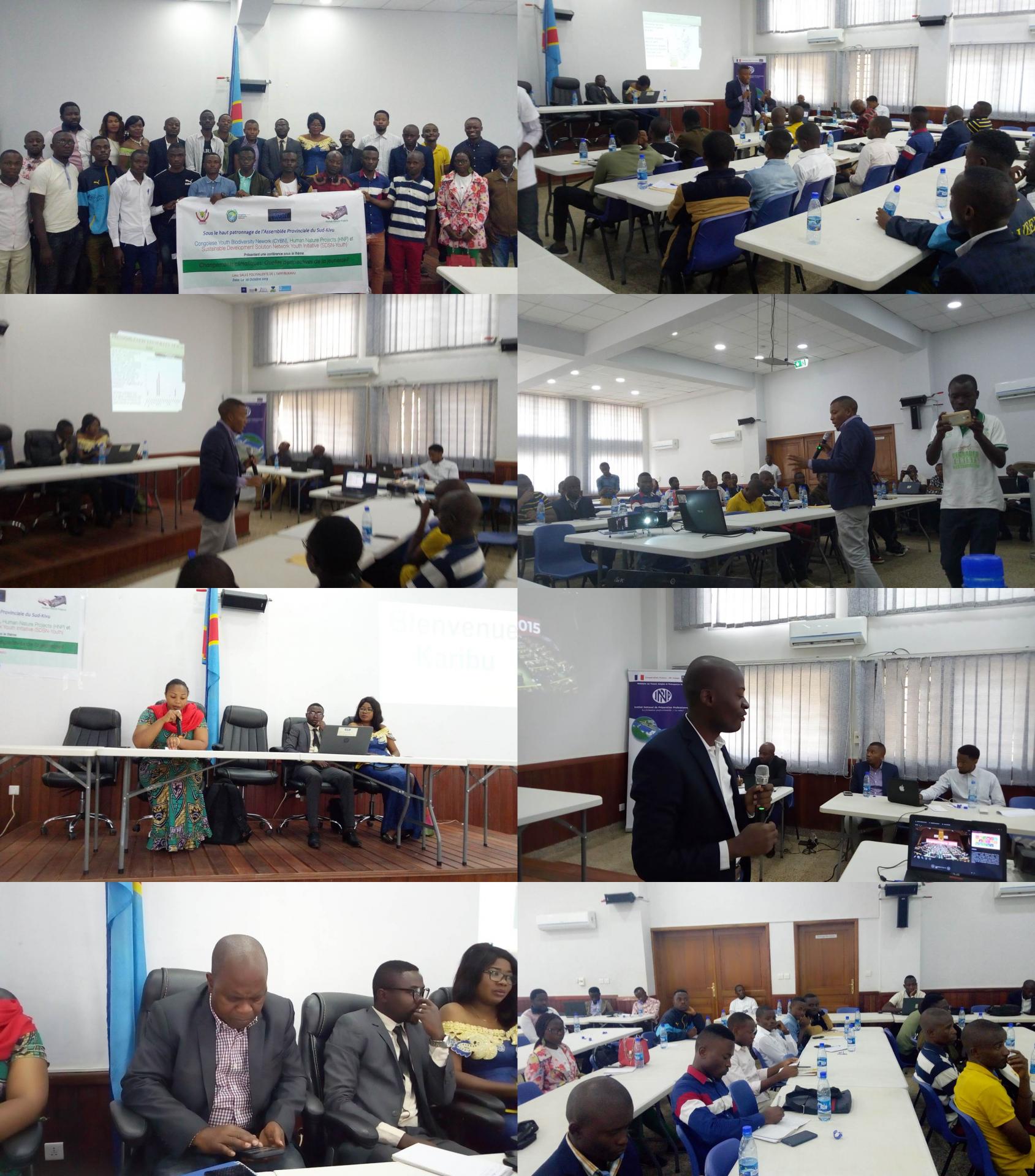
Forum des jeunes du Sud-Kivu sur le changement climatique (2019)
Organisateurs: BEGE-RDC (organisation membre de SDSN-Youth), Congolese Youth Biodiversity Network (CYBN), Human Nature Projects (HNP) et organisations partenaires
Cartography of Natural Risk: we are developing interactive maps to show areas susceptible to natural hazards like landslides, erosion, flooding, volcanic activity, and seismic events. These maps are crucial for disaster risk reduction and planning.
Geoheritage promotion: this project is focused on the inventory of geoheritage sites in the Kivu region, the geoconservation of significant geological sites, and promoting awareness and education about geological conservation.
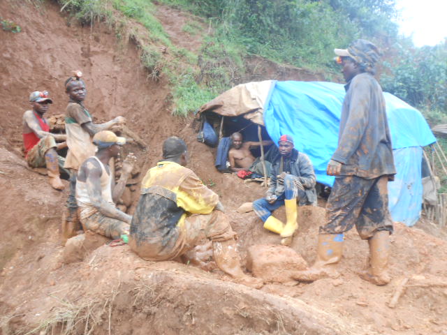
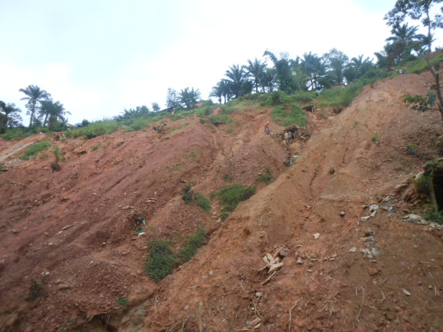
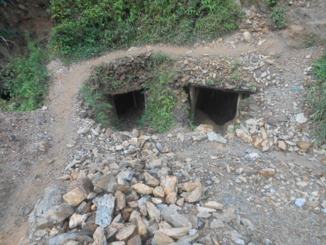
Land Remediation: we are involved in projects aimed at remediating lands degraded by artisanal mining, focusing on restoring ecosystems and promoting sustainable land use practices.
Community Engagement: we acilitate stakeholder consultations and community engagement sessions to gather input and develop sustainable solutions for local communities.
Capacity Building: We conduct training programs to build the capacity of local communities in natural resources management and disaster preparedness.
Publications and Resources
Guide pratique de sensibilisation sur les risques majeurs en rdc
Guide pratique de sensibilisation sur les risques majeurs en rdc ebook
Guide pratique de sensibilisation sur les risques majeurs en rdc livre
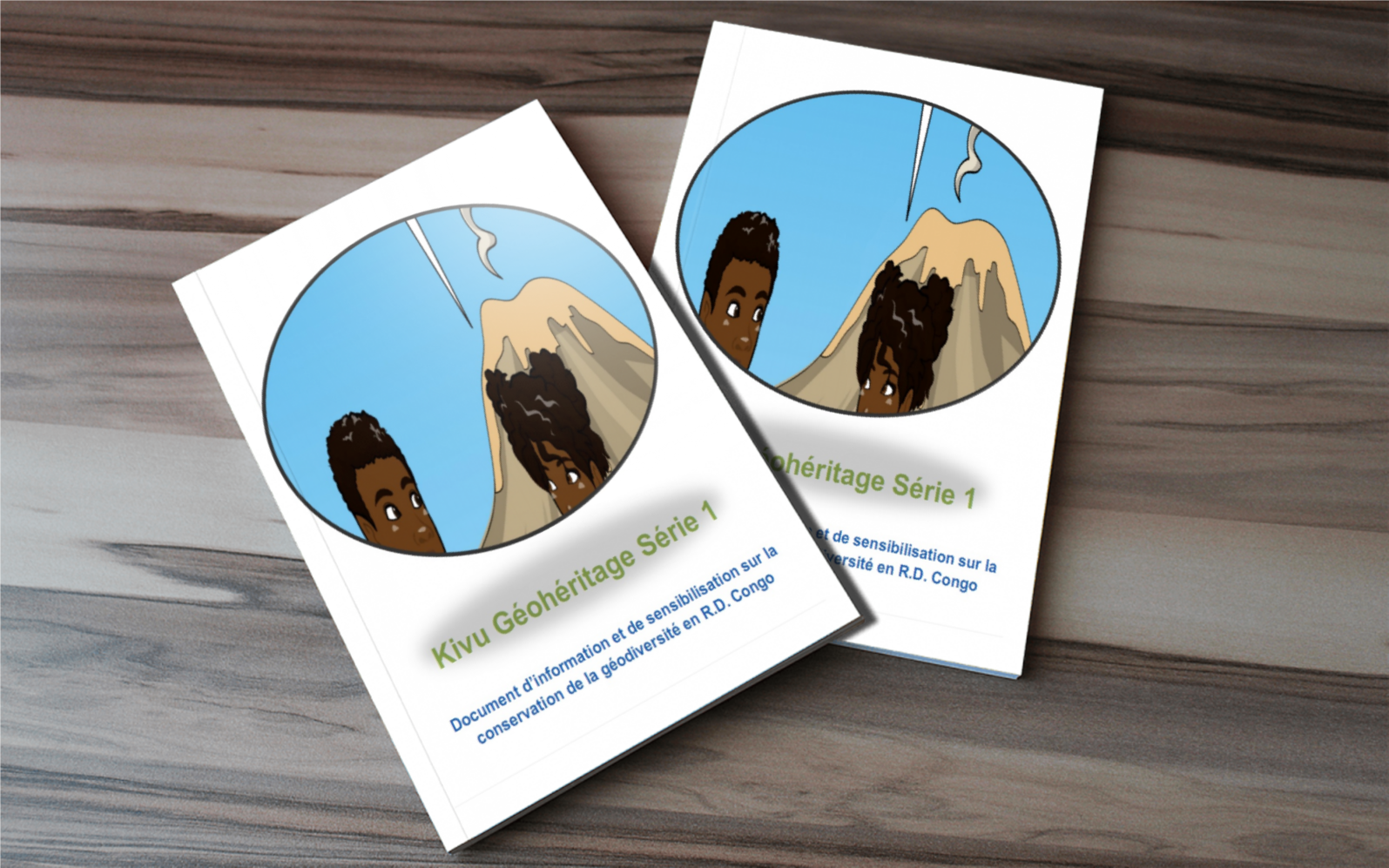
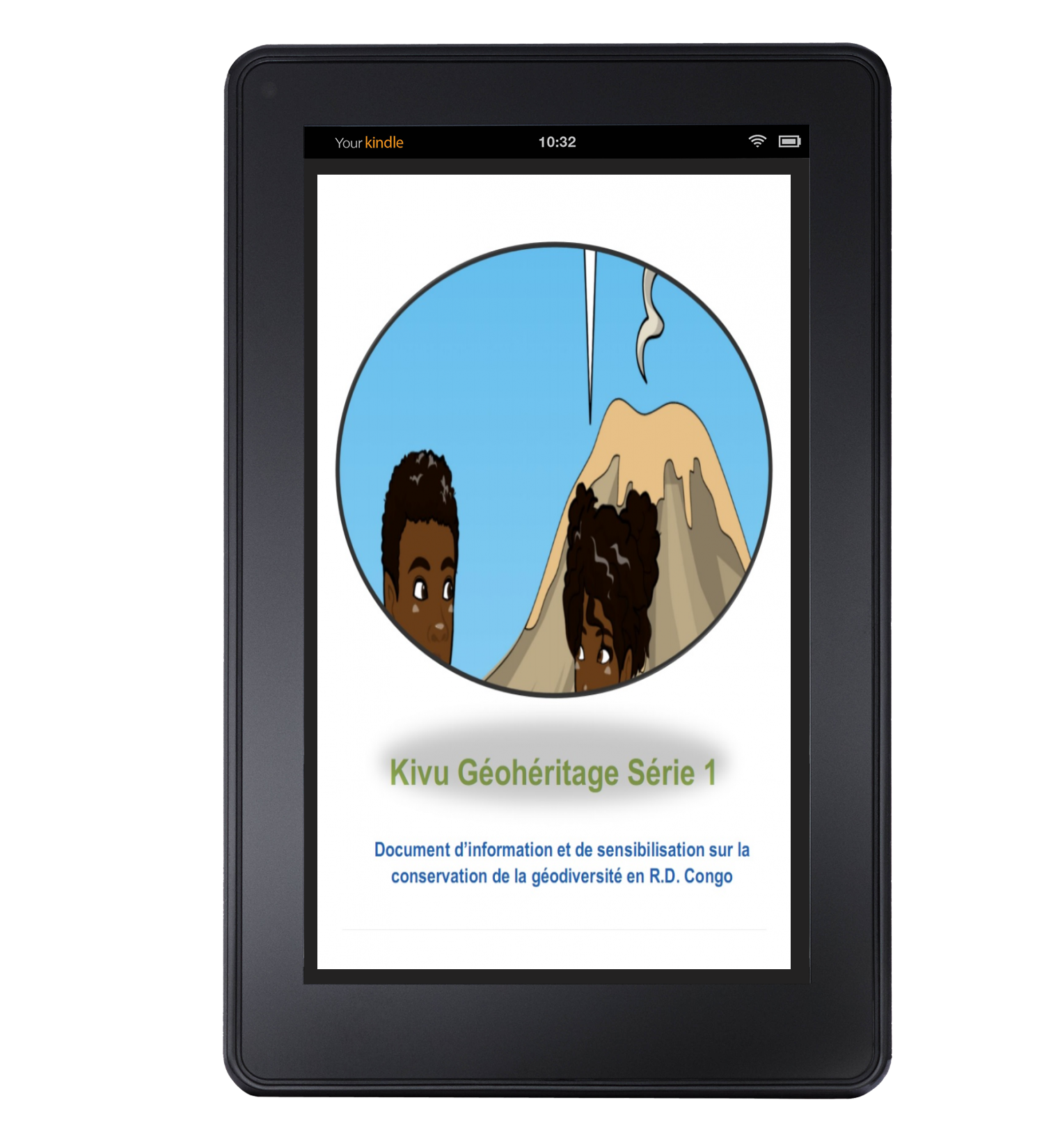
Kivu geoheritafe serie 1 ebook
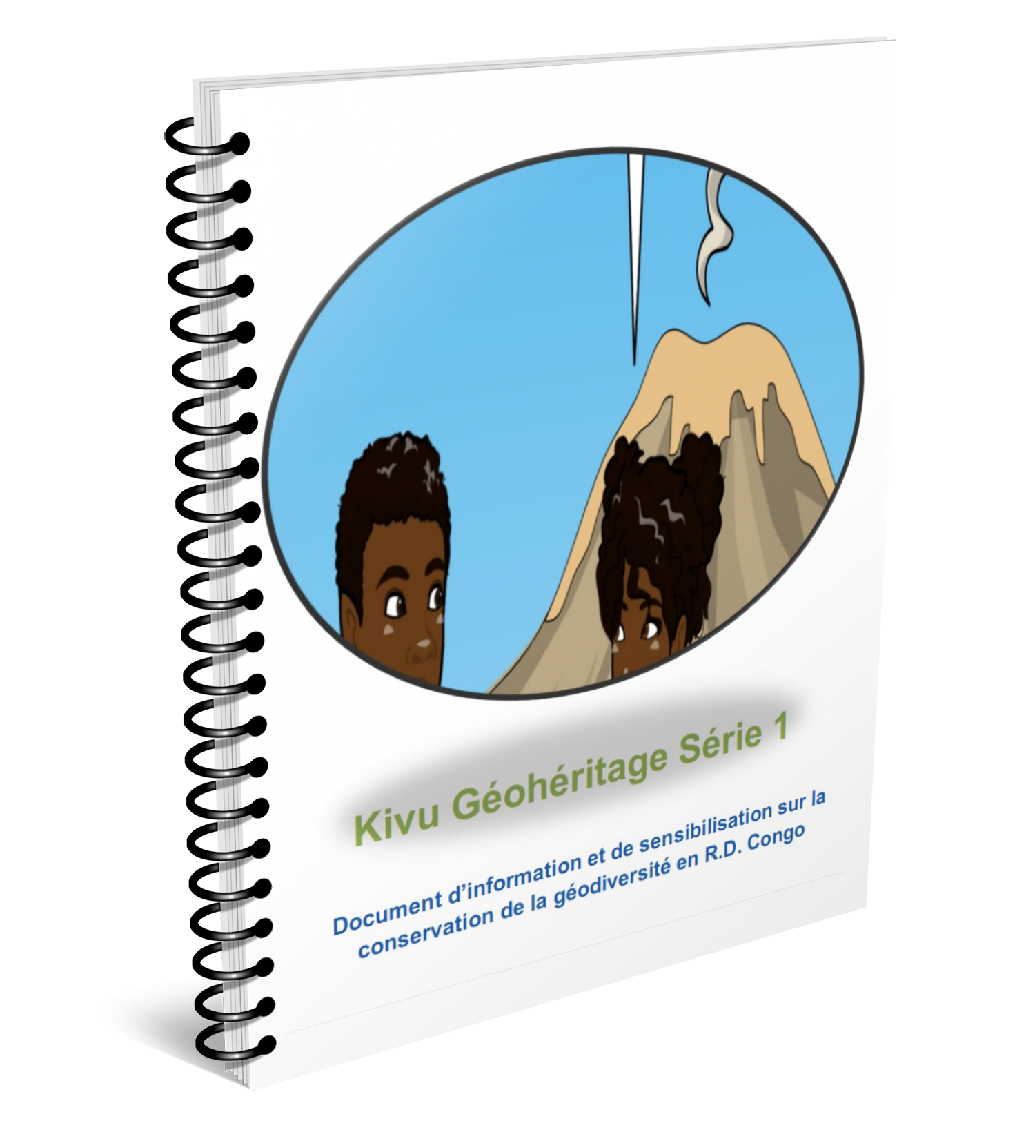
Kivu geoheritage serie 1
Kivu geoheritage serie 1 livre
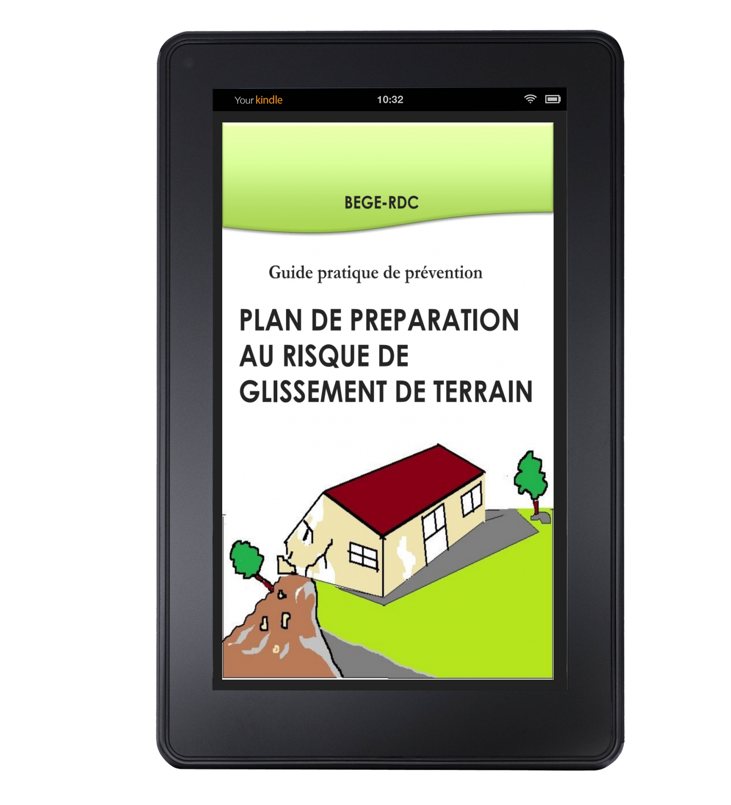
Plan de preparation au risque de dlissement e terrain ebook
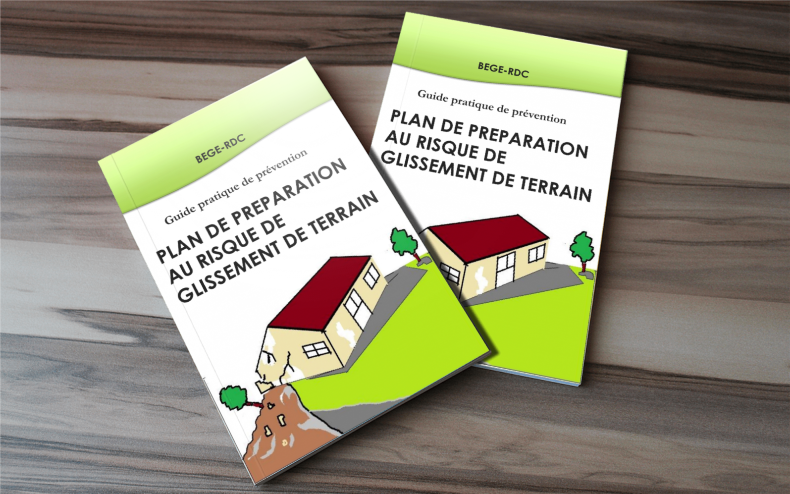
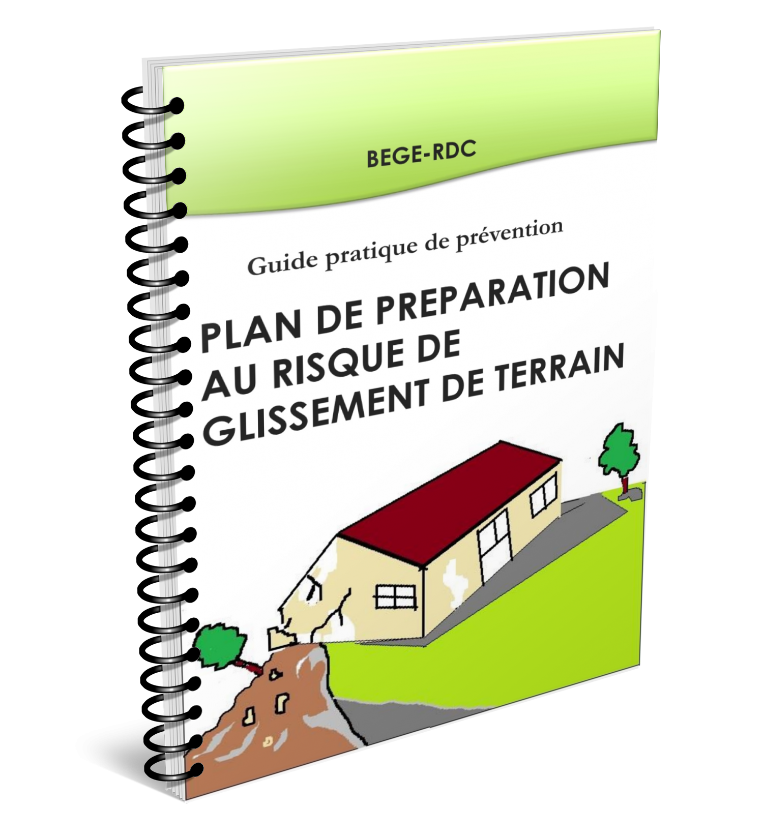
Plan de preparation au risque de glissement de terrain
Plan de preparation au risque de glissement de terrain livre
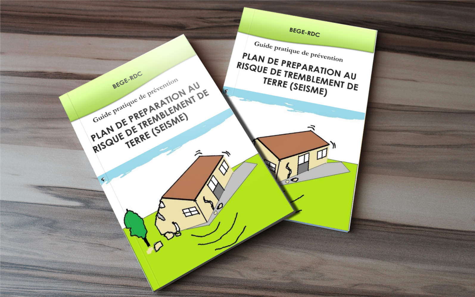
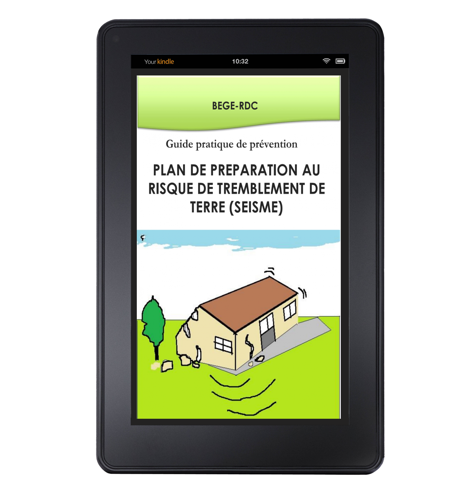
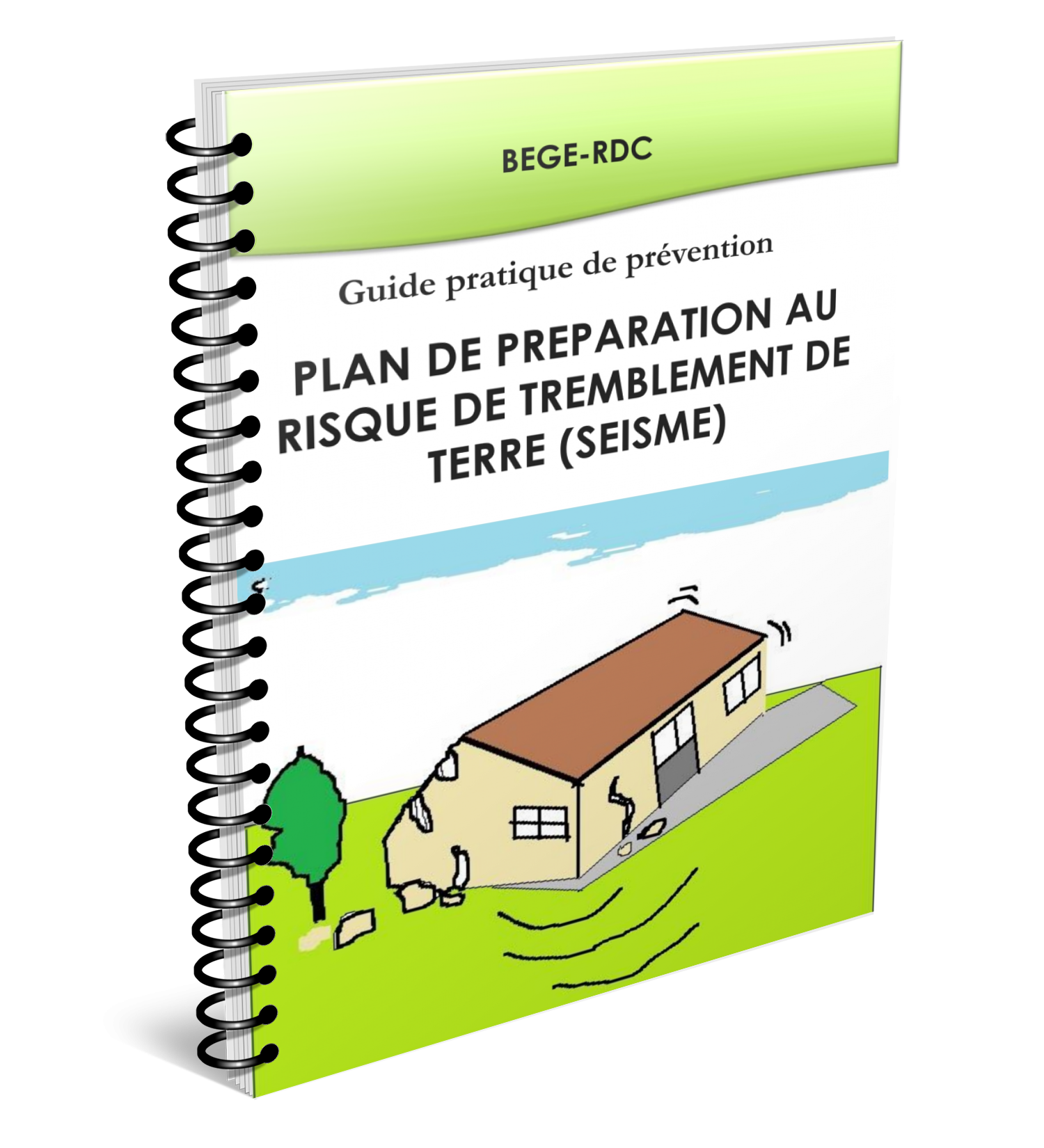
Plan de preparation au risque de tremblement de terre
Plan de preparation au risque de tremblement de terre ebook
Plan de preparation au risque de tremblement de terre livre
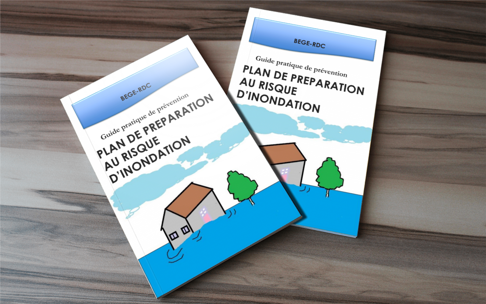
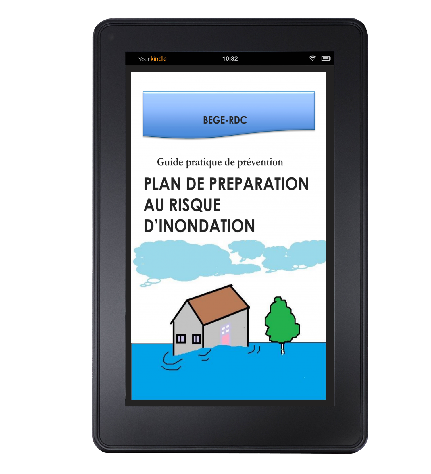
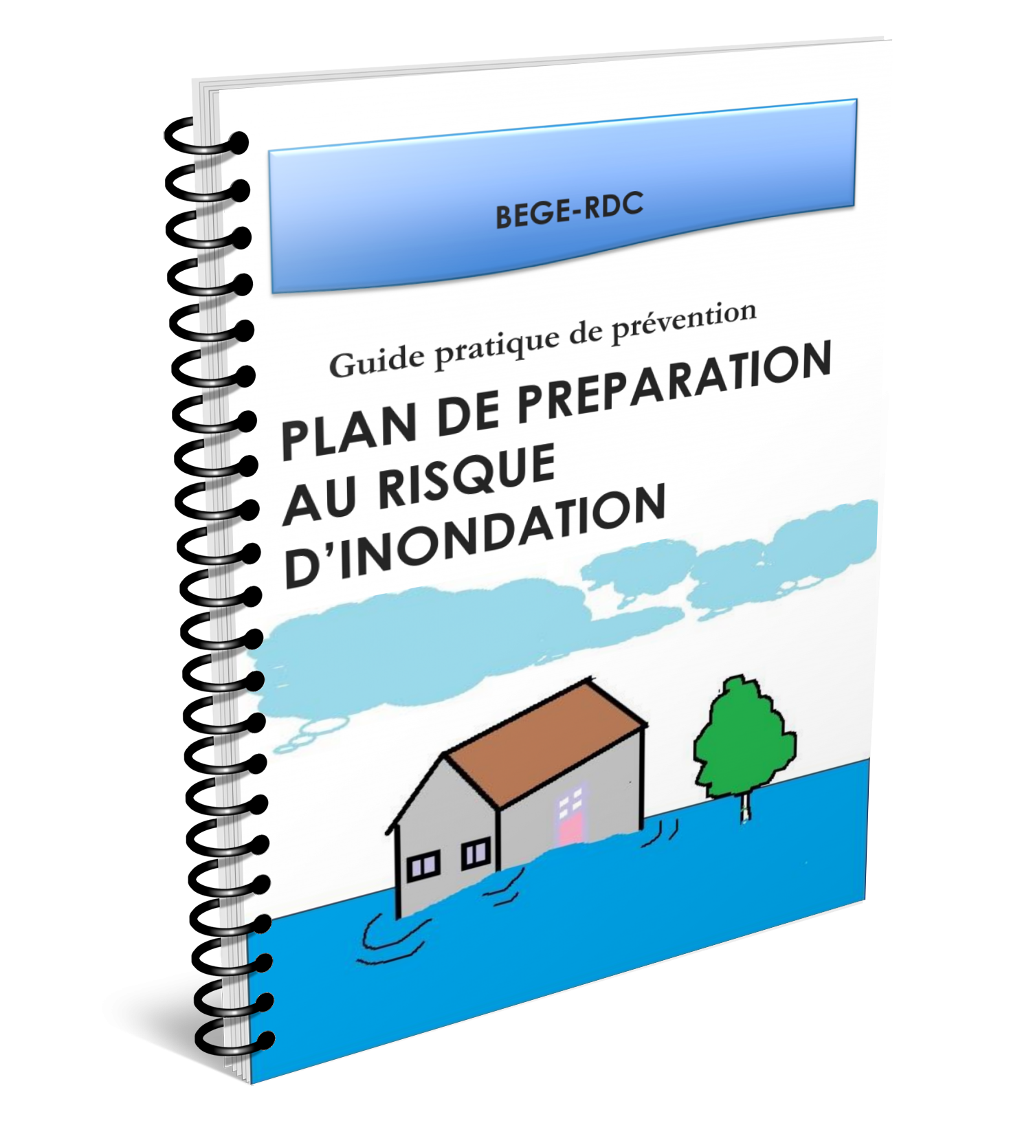
Plan de preparation au risque d inondation
Plan de preparation au risque d inondation ebook
Plan de preparation au risque d inondation livre
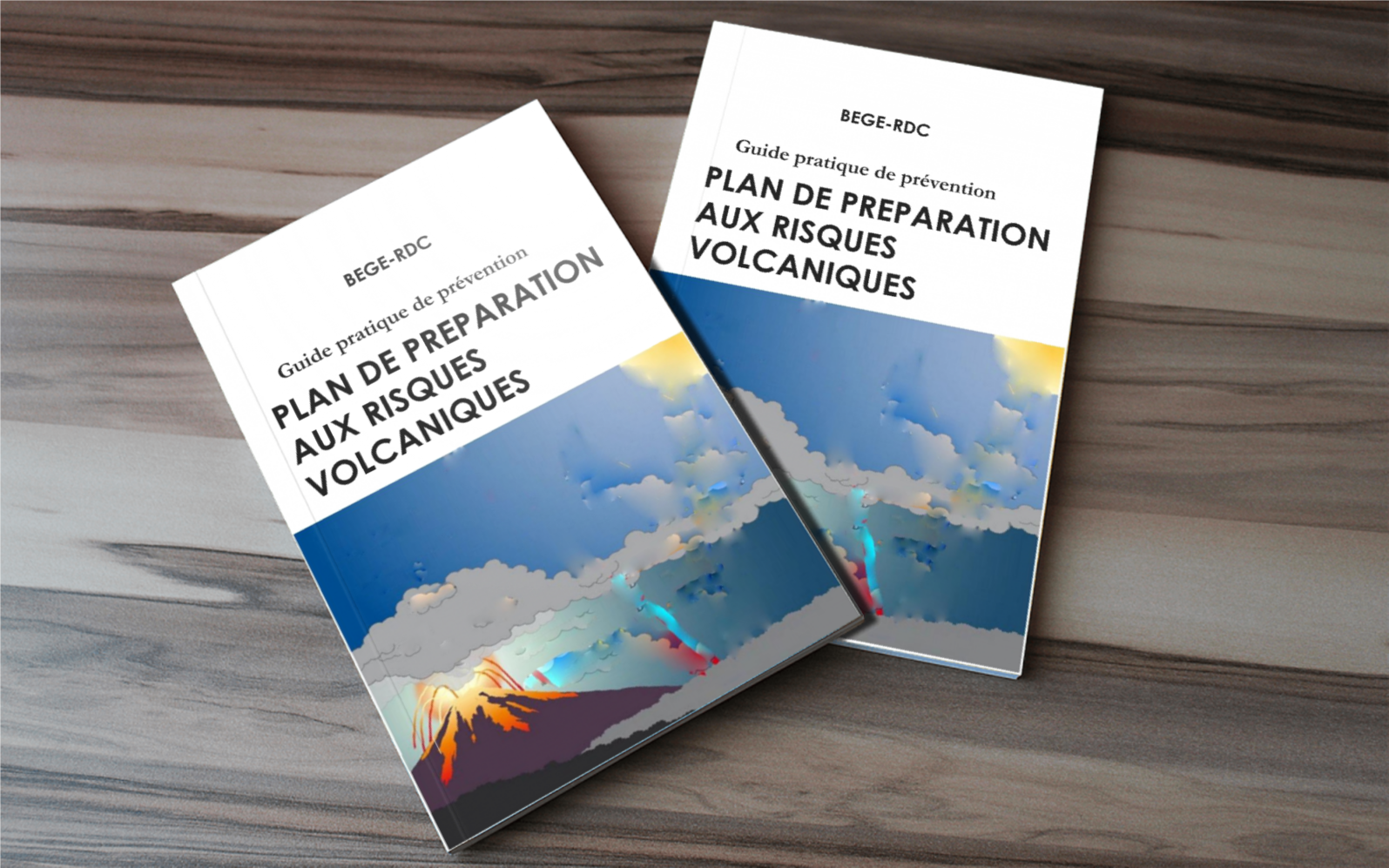
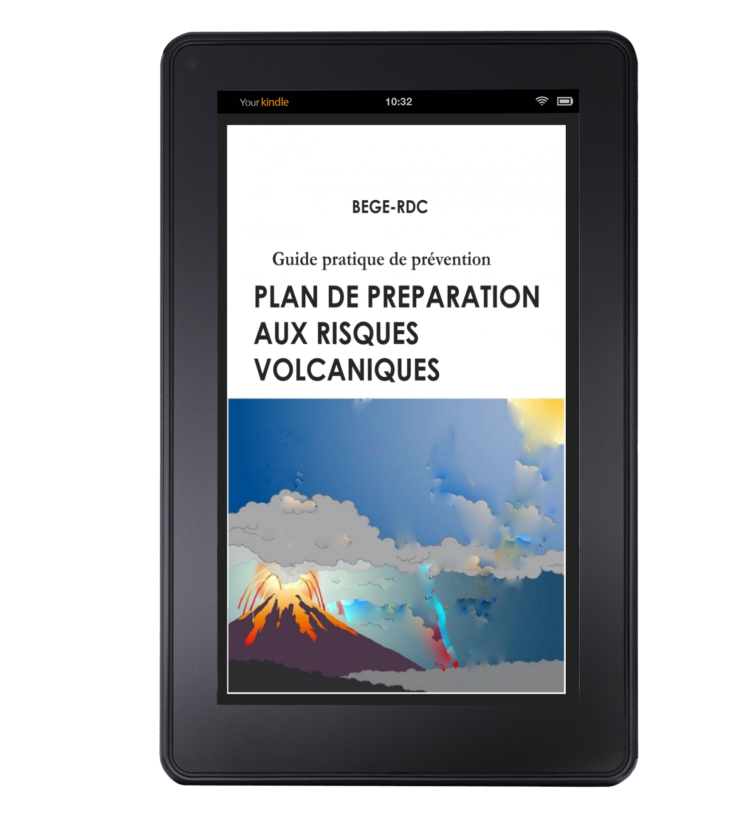
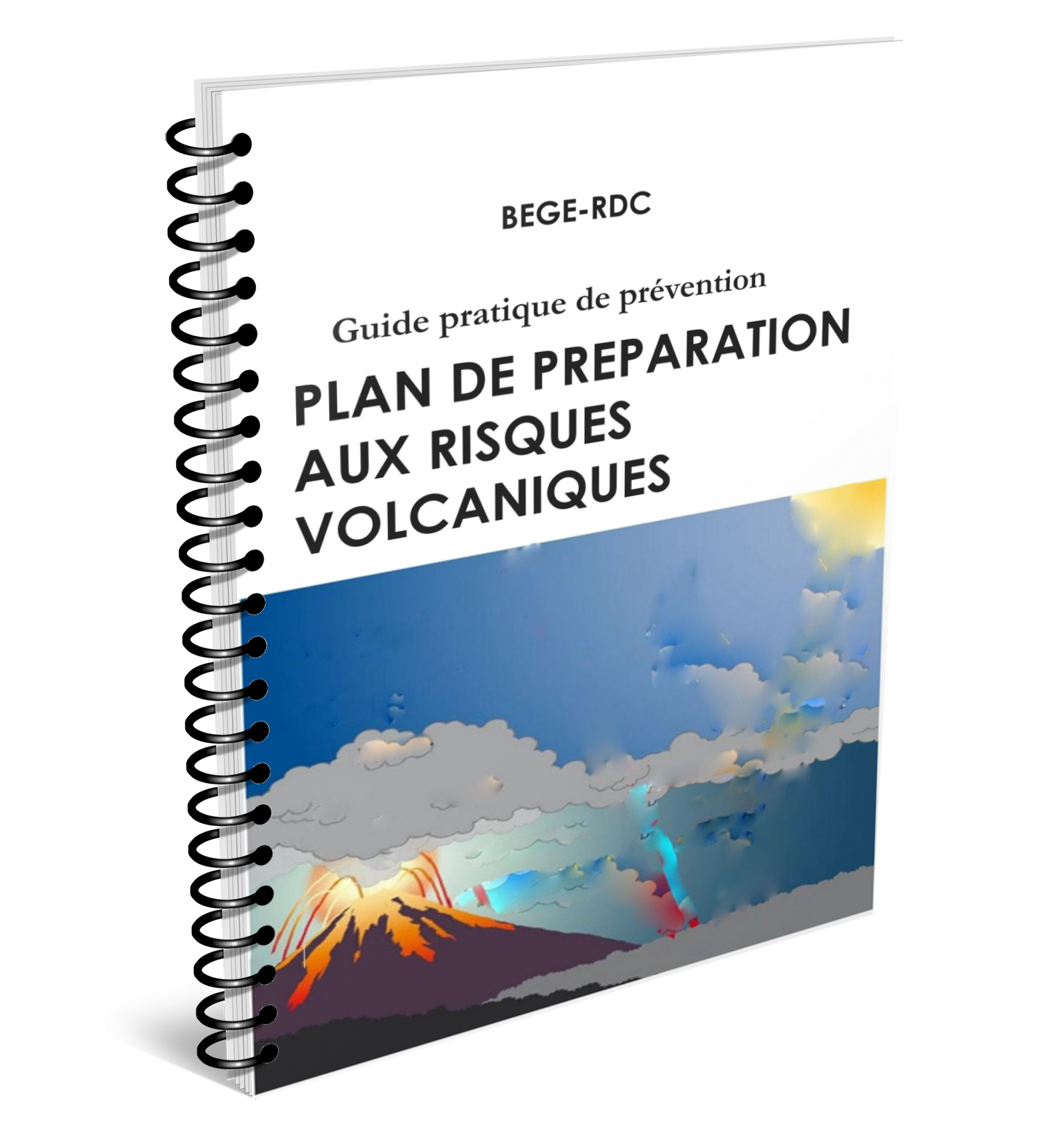
Plan de preparation au risque volcanique
Plan de preparation au risque volcanique ebook
Plan de preparation au risque volcanique livre
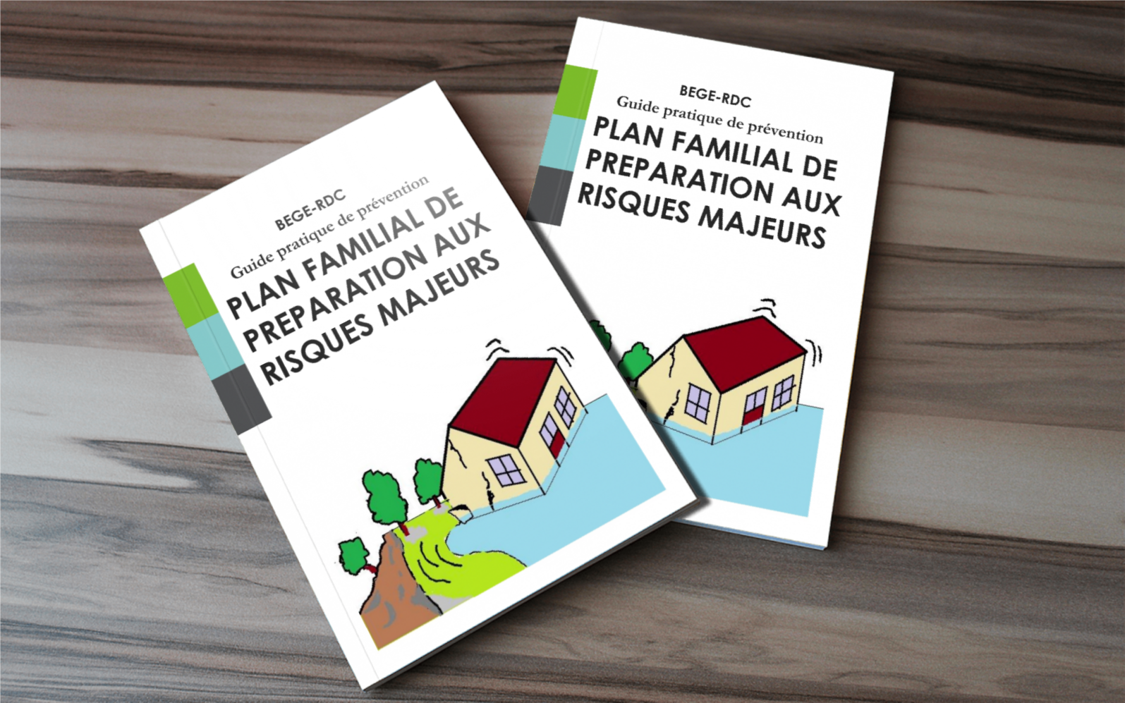
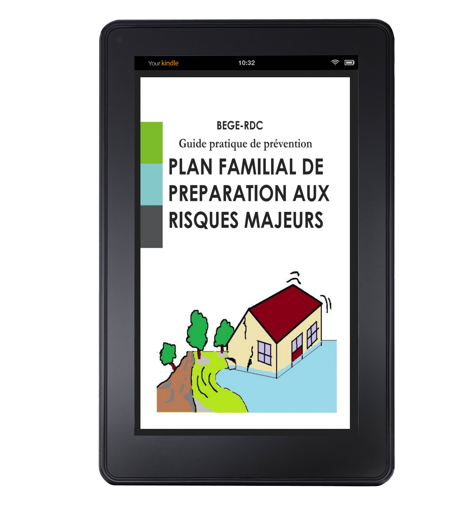
Plan familial de preparation aux risques majeurs
Plan familial de preparation aux risques majeurs ebook
Le Cahier du BEGE-RDC: A quarterly journal promoting geosciences in the Kivu region, featuring research findings, expert articles, and updates on the organization's activities.
Practical Guides: We provides practical guides on disaster risk reduction, environmental management, and sustainable practices.
ThematicMaps: Publishes thematic maps that provide detailed information on various environmental and geological aspects, aiding in research, planning, and decision-making